South Guanacaste
In the southwest coast of the Nicoya Peninsula. Its north limit is the Punta Cerritos and its south with river Bongo outfall, with a length of approximately 110 kilometers in front of the coast. The main tourist center of the South Guanacaste Unit is the Nicoya city, located at 30 kilometers of the coast that works as a distribution center and stop break for the tourist that travels to the south Guanacaste beaches and the travelers to other passages. The second tourist center is the village of Samara, located over the coast, which gives it a central position in relation with the whole passage territory.
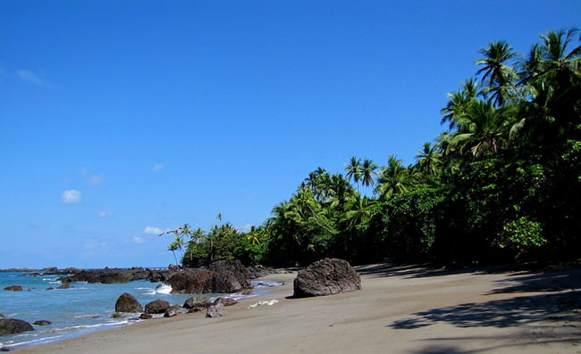
The main resources of the unit are the beaches. It has a extended potential for the development of beach combined products and natural resources such as the spectacular arriving of the turtles Lora in the Wild Life National Refuge Ostional and the estuary and mangrove swamp of the south side, specially those who divide the beaches of Islita, Bejuco, San Miguel, Coyote and Guiones. The mangrove swamp are excellent conserved and are ideal sites for the bird sight and other type of fauna as well as the practice of light sports as the “kayaking”.
It has an efficient public transportation and well as ferryboats (Paquera community and Naranjo beach), which make the communication between several regions points easy. Similarly, the bridge over the Tempisque River gives a quick access to all the central and south region of the Peninsula.
It also has several airdromes (Tamarindo, Carrillo, Islita) that make possible the quick and safe entrance to the main tourist destinations of south Guanacaste.

